View All Central / East Idaho Adventures
Amber Gulch

At the north end of the parking lot is a trailhead sign for the West Fork Big Wood trail. From there, it’s a short walk to a trail sign and a stream. Cross the stream (a log should be in place to cross it), and sign in at the registration box.
About 1 mile from the trailhead, you come to a trail junction. Take the trail that leads down to the creek. After crossing the creek, hike the switchbacks. This trail takes you through a steep rockfall area.
After passing through a timbered section, you can see the basin below the lakes. Some more switchbacks take you up the east side of a meadow where the constructed trail ends at a small pond.
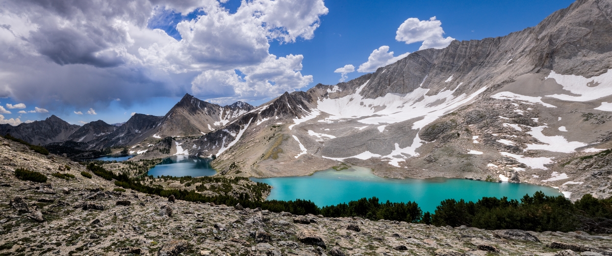
It’s a steep climb from the basin to the lakes. To find the upper lake, go south from the pond. Find the outlet stream and follow it to the lake. To find the lower lake, head north from the pond and hike around a scree slope (a slope with loose rock debris around it). Follow the route of the outlet stream to the lake.
Note: The route to the lower lake is for experienced cross-country hikers.
Directions
From Ketchum, drive north on Highway 75 for 8 miles to the main building of the Sawtooth National Recreation Area. Take a right onto North Fork Road and
continue past the parking area for 5 miles. The road ends in a parking area by the river. Begin your hike here.
Location
Boulder-White Clouds
Distance
8.5 miles round trip
Elevation
1,800 ft
Difficulty
Moderate to basin
Maps
Sawtooth
Status
Designated Wilderness
More Info
Day Hiking Near Sun Valley
