View All North / North Central Idaho Adventures
Upper Priest River/American Falls

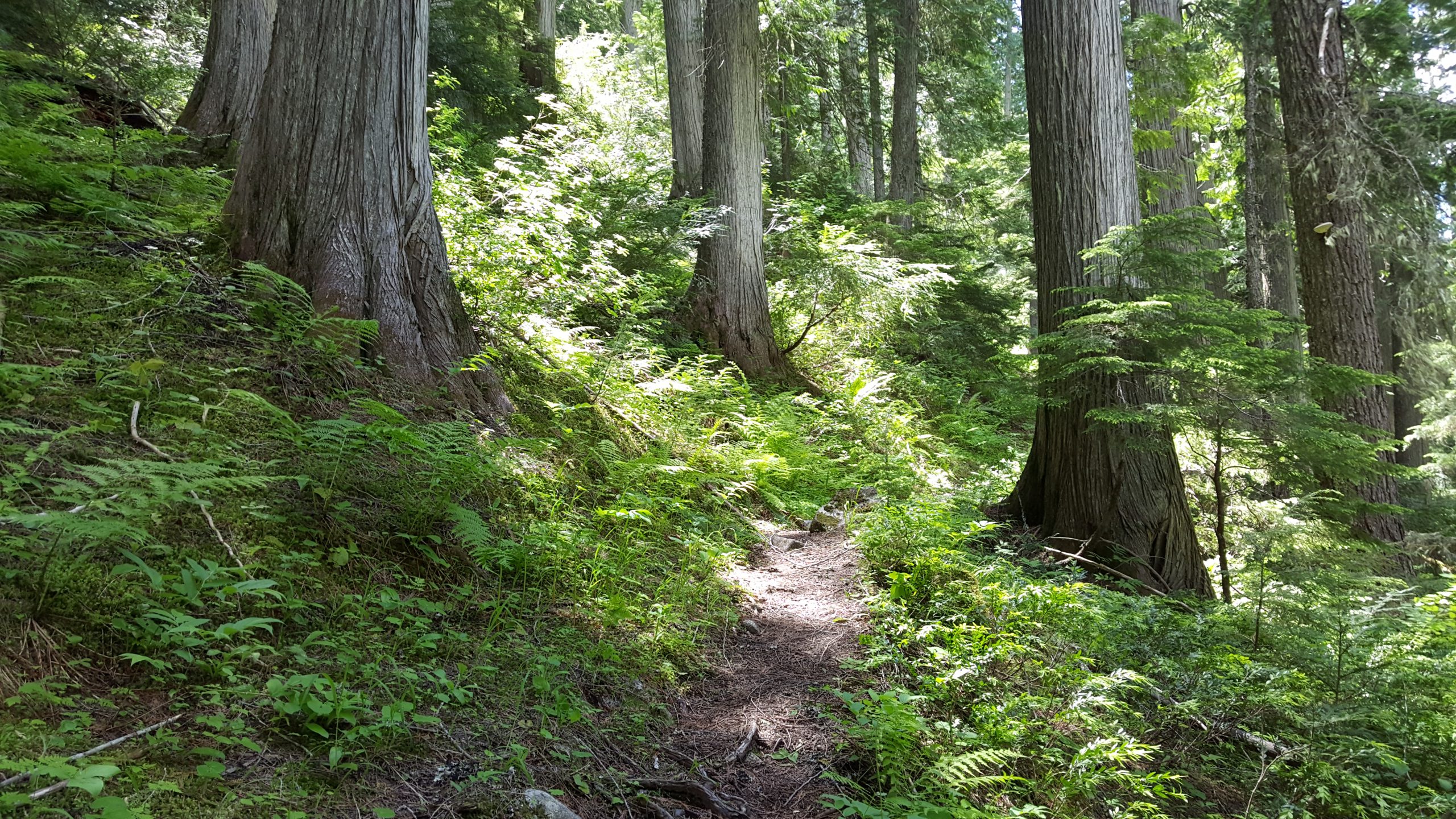
Just south of the Canadian border and east of the Salmo-Priest Wilderness Area, this mystical trail begins in the southern portion of a proposed wilderness area and one of the largest tracts of intact old-growth forest in the Pacific Northwest. Flowing south through the world’s only snow-fed inland temperate rainforest, this lowland route follows the upper Priest River to the 40-foot cascade at American Falls, which marks the river’s entrance into the United States.
You pass through a climax forest relatively untouched by fire for centuries, a landscape of ancient hemlocks and cedars up to 10 feet in diameter covered in dense mosses, lichens and fungi. This unique area of the Idaho Panhandle is home to the endangered grizzly bear and woodland caribou, as well as black bears, deer, moose and mountain goats. Following a route through a healthy variety of native ferns and berries, Upper Priest River Trail #308 extends 8 miles to a large, peaceful campground within earshot of the river, about 0.5 mile south of the falls.
Directions:
From Priest River, travel north 36 miles on Highway 57 to reach Nordman. Continue on Road 302 approximately 14 miles to Granite Pass and the junction with Road 1013. Take Road 1013 11 miles to the signed trailhead for Upper Priest River Trail #308 on the west side of the road.
Maps: ICL Guide to the Selkirks; USGS Quad – Continental Mountain; USFS Upper Priest River Trail #308 Map; USFS Upper Priest River Trail #308 Elevation Profile
More information: 100 Hikes in the Inland Northwest; Trails of the Wild Selkirks;
Location
Upper Priest River
Distance
16 miles round trip
Elevation
1,400 ft. total
Difficulty
Easy
Status
Proposed Wilderness
More Info
USFS – Upper Priest River Trail (#308)
http://gis.fs.fed.us/outernet/ipnf/rec/activities/trails/d8upriest308.html
