View All Central / East Idaho Adventures
West Pass of the Big Wood River

Note: Only hikers in good physical condition should attempt this steep hike.
The sign for the trail is located on the east side of the parking lot. It says, “North Fork Trail, West Pass Creek.” At about half a mile, the trail has been rerouted away from the stream. Stay on the main trail at the horse detour signs. Do not take the lower trail.
As you head north up the river, you can see open areas and wooded sections. At 1.5 miles, wade across a tributary of the North Fork. After crossing, walk another eighth of a mile to the West Pass junction. The junction is marked by a trail sign that says, “West Pass Cr.” Turn right to follow a clearly defined trail in long switchbacks up a tree-filled slope. The trail’s elevation increases above the trees, and you hike another 2 miles to climb the pass. This portion of the trail is very difficult.
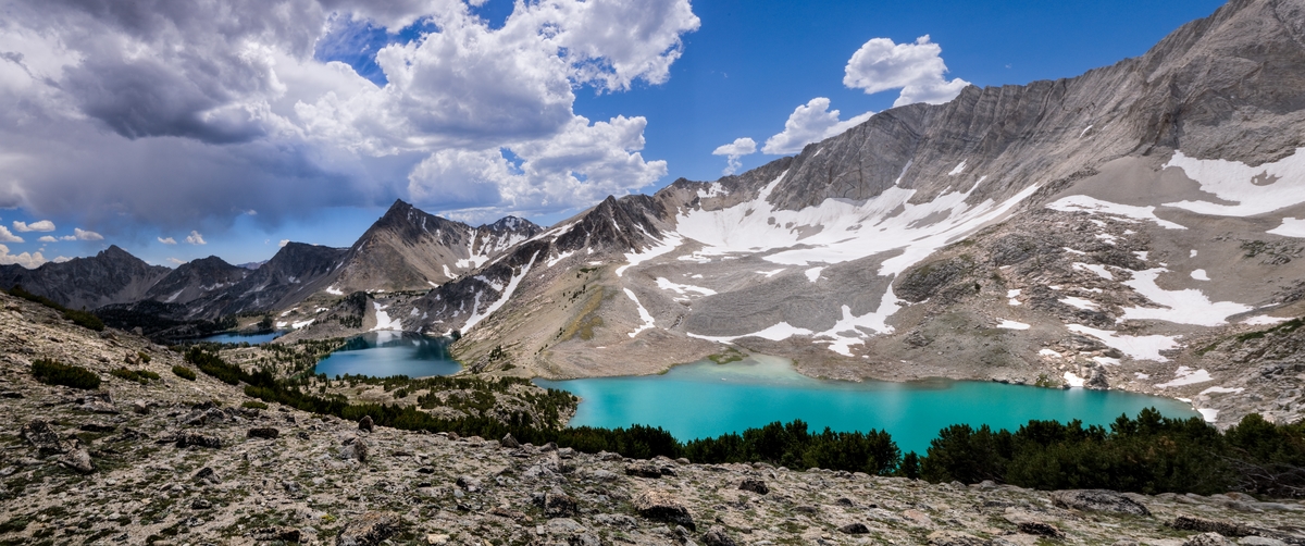
If you look north from the divide, you can see Glassford Peak in the Boulder Mountains and West Pass Creek below in the canyon, and the White Cloud Peaks off in the distance. On the right is Ryan Peak; behind you is Kent Peak.
Directions:
From Ketchum, drive north on Highway 75 for 8 miles to the main building of the Sawtooth National Recreation Area. Take a right onto North Fork Road and continue past the parking area for 5 miles. The road ends in a parking area by the river. Begin your hike here.
Location: Hemingway-Boulders Wilderness, Boulder-White Clouds
Status: Designated wilderness
Maps: Sawtooth National Forest, SNRA, Ketchum & Fairfield District
Location
Boulder-White Clouds
Distance
7.5 miles round trip
Elevation
3,000 ft
Difficulty
Very Difficult
Maps
USGS Ryan Peak, Amber Lakes
Status
Proposed Wilderness
More Info
Day Hiking Near Sun Valley
